- Museum
- Scottish Fisheries Museum
- Object Number
- ANSFM:2006.20.7
- Title
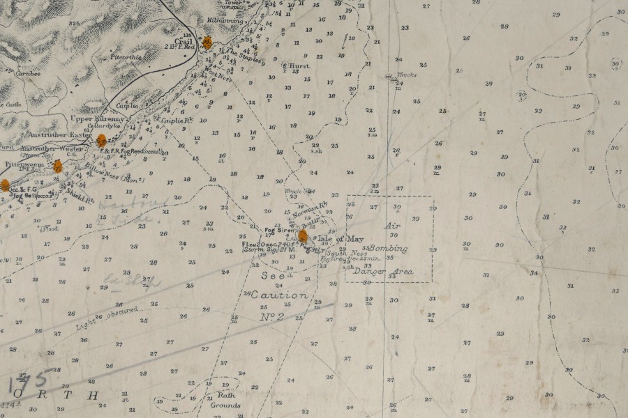
Admiralty Sea Chart St. Abb’s Head to Aberdeen
- Object Name
- Chart
- Description
This sea chart shows the strip of coastline between St. Abb’s Head all the way to Aberdeen. It was used by the Admiralty to make sure sailors and naval officers could sail through these waters safely. On the map we see that the coastline between Anstruther and Crail is labelled as dangerous due to threat of underwater submarine cables and the immediate zone around the Isle of May is also designated as an ‘Air Bombing Danger Area’. The seas, previously so familiar to local fishermen, were now decidedly militarised.


